On one bright, cool Spring day I drove into the Robbins Butte Wildlife Area to visit the last of the major petroglyph sites on my list. Among the well-watered paloverde and creosotes, I passed weekenders and campers of all varieties. After several dead-ends into areas that were mainly intended for birdwatching along the riverbed, I followed the main dirt road up to the dark cone I had scouted from the fields across the floodplain.
Some amateur target shooters were blasting away up ahead, so I parked around the east side and set off toward the river. But, by the time I reached the dark cliffs where the channel had undercut the lava, the undergrowth became too dense, so I cut back, angling up the slope.
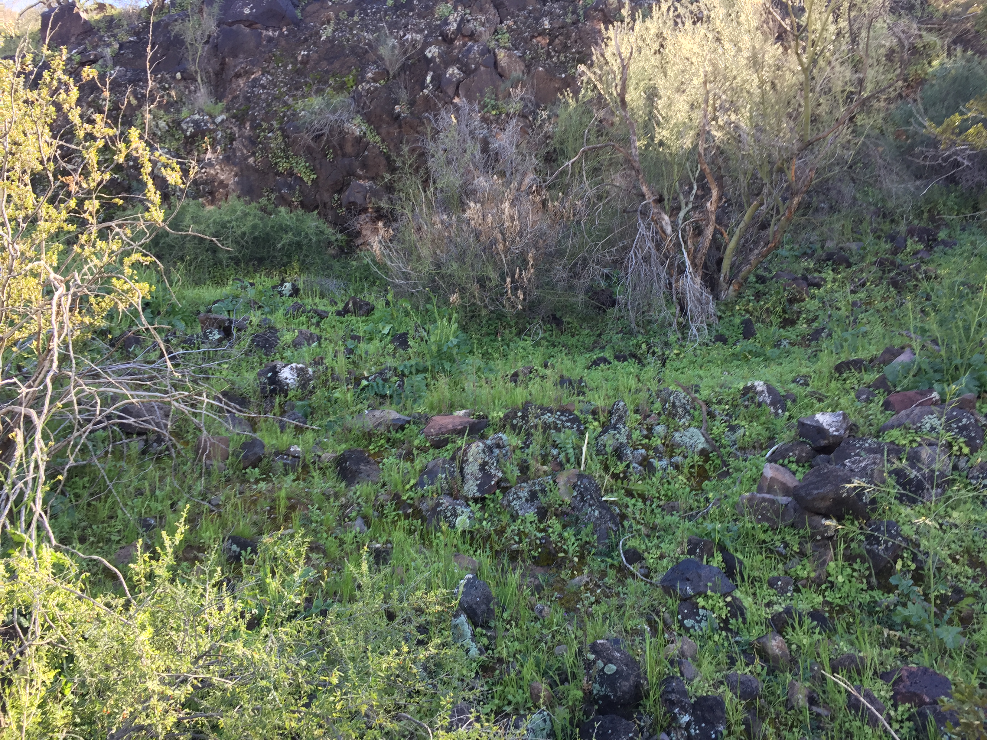
This is one of those volcanic hills that is nothing but a pile of boulders – the hardest possible hiking. Near the top I had the thought that the hidden spaces between the rocks and the bursting groundcover must be an ideal habitat for rattlesnakes. Sure enough, not a minute later I stopped dead an arm’s length from a huge brown body that was draped across a brittlebush.
Sharing the landscape
My spirit of adventure having cooled considerably, I decided to skip this hill for now and drive instead over to Powers Butte, but I couldn’t resist turning onto the fork in the road that led around the west side. At the edge of the river, I knew I was on the right track because of the slender post requesting respect for the nearby antiquities.
I bushwhacked along a overgrown trail following the river but saw only one faint drawing before I came all the way around to the cliffs that I had previously approached from the other side. Not much luck on my quest, but I certainly was enjoying the cool, moist shade with its riot of groundcover.

At the moment when I finally emerged exhausted from the brush, I ran into the people I had seen shooting earlier – a young local named Brandon, his kid brother and his teenage fiancée. I had a moment of concern about their firearms then realized that they were also skeptical about my pair of metal hiking poles.
“I just killed a huge rattlesnake,” said Brandon, making a circle with his hands about the diameter of a coffee can.
“I just got so close to one I could hear him rattle,” I said.
He replied that he had never actually heard a rattle this early in the season, and I’m sure I should defer to his superior experience in the matter. Later it occurred to me, though, that the desert snakes aren’t dormant as long anymore in the warming climate.
Out of my element
He showed me where the Indian art was, just up the hill from where we were standing. Perhaps showing off for his girlfriend, he mentioned a theoretical act of vandalism that I can’t bring myself to repeat.
“I know it’s really bad and illegal and all,” he said, “but I’d like to give a piece to my grandmother.”
They all wanted to formally shake my hand before they headed down to the water through a tunnel in the trees. I had no doubt that these were kids from fine salt-of-the-earth, Sunday-school stock. But I also could see the immense challenges ahead in bringing vastly different worldviews into some kind of agreement about the significance of this land.

From my vantagepoint among the rock art up on the rise, I paused to survey the scattering of white peaks to the far north, blanketed by the heavy snow the day before. I was distracted, though, by Brandon’s shotgun blasting away down there among the trees, spooking a flock of large birds – white pelicans, I believe – that returned rashly to circle overhead.
The hive of bees that lived among the carvings weren’t very appreciative of my activities, either, though. When one flew down my shirt and stung me, I retreated full speed down the slope, admitting that I was 0-for-3 with the inhabitants of this particular place.
An intricate web
In 30 years of exploring the Sonoran Desert and beyond, of driving along the Great Bend of the Gila many times a year, I have mainly treated it as a transition zone, as a backdrop for the long drive to Phoenix or Tucson. I have been focusing instead on remote wilderness areas, instinctively avoiding areas of intensive population, agriculture and industry.
In finally filling in this piece of the puzzle, I have gained new understanding and appreciation for the southwestern region of the state on many levels. Of course, that understanding remains mainly intuitive and experiential. I will have to leave any actual scientific revelations to the experts in those fields – archeology, anthropology, geology, history, zoology, botany, and so on.
I did try to contact a few officials who might have some authority over various aspects of the area of exploration, but I found them oddly reserved. Maybe they feel protective of its vulnerable treasures, and I can appreciate that concern: so much has already been lost or destroyed in the face of mechanization and development.
The hour is late
No doubt those treasures are in dire need of greater protection. Indeed, over the past five years studies have been done, proposals made and legislation introduced to preserve 84,000 acres of public land as a new National Monument, with significant involvement by the nearby Native-American tribes – the living descendants of the ancient Hohokam and Patayan peoples – in managing and interpreting the cultural landscapes. Hopefully that idea is gaining momentum.
This area is not significant only to those of us who move through it regularly. It is one of the crown jewels of the American West and of the country at large. Even beyond that, it is a global resource steeped in cultural and spiritual meaning. In my lifelong travels to dozens of countries, I have visited and heard of many places designated as World Heritage sites that are not nearly as intricate or extensive as this one.
The time is long overdue for us to give this resource the recognition and the protection it deserves.

Like it. Leaves me wanting MUCH larger photos, like the top one.
Our new site: gomomentum.org
LikeLiked by 1 person